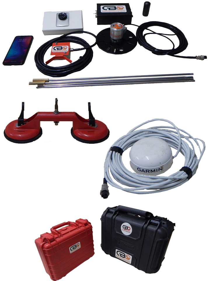
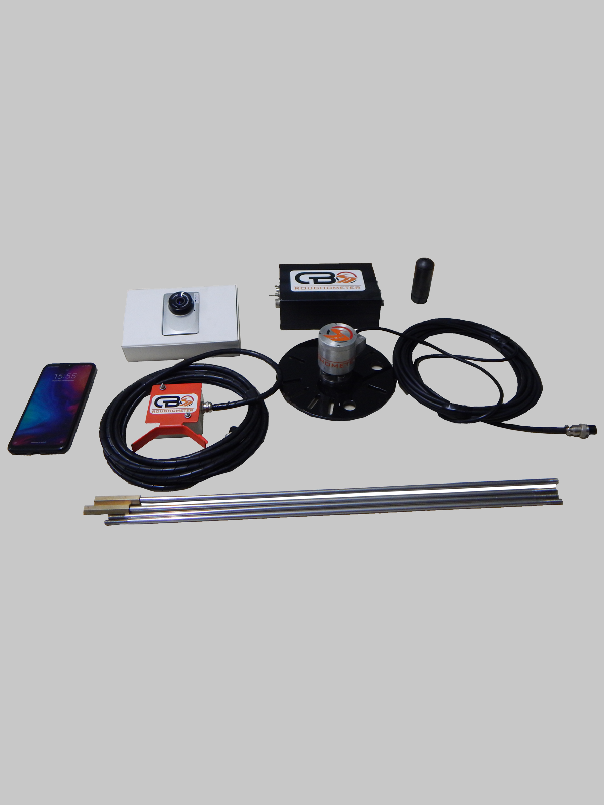
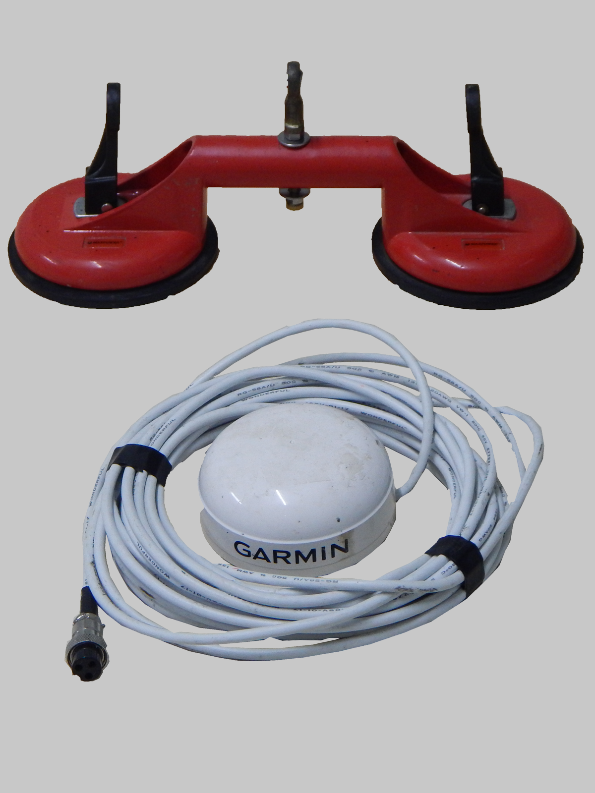
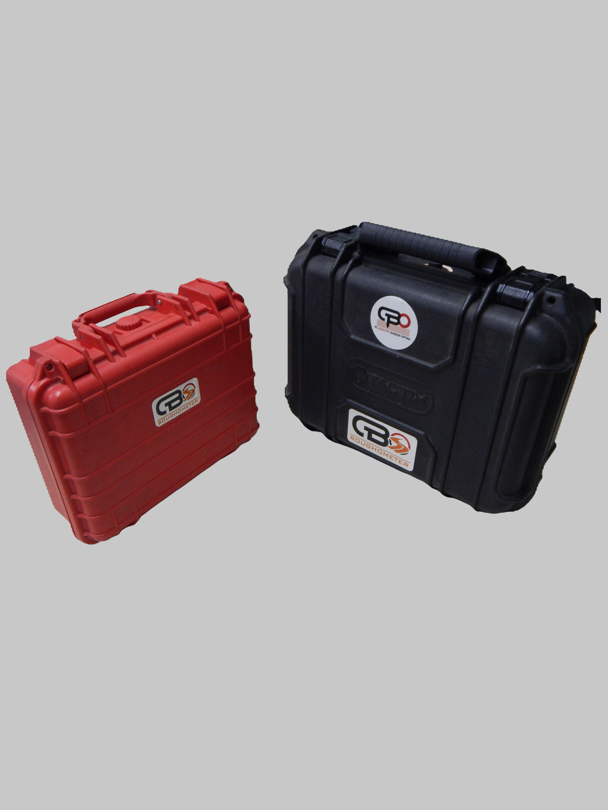
GBORoughometer designed to retrieve and provide road roughness data (IRI) with types of pavement such as concrete, asphalt, and soil.
• Provides objective data for evaluation of level values road roughness.
• Monitor the downtrend or uptrend level of road roughness, for supervision and maintenance benefit.
• Compare and analyze the types of roads that need improvement.
• Friendly User
• Simple Installation
• Multi-format reports available including Photo, tables, graph, GPS maps and .CSV files.
• Integrated Photo, GPS location with every output IRI
• Accurate and repeatable outputs regardless of vehicle type